-
Keepeek
 Keepeek
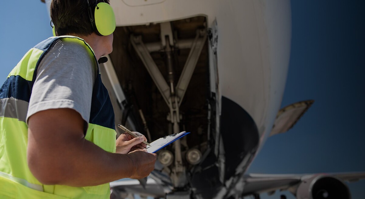
Optimize Air Freight Routes
-
Keepeek
 Keepeek
Track GHG emission savings
-
Keepeek
 Keepeek
Stay Effective While Cutting Emissions

Optimize Air Freight Routes
Reduce GHG emissions by optimizing air freight routes and matching them with fuel-efficient aircraft:
- Select routes that enable the use of modern, efficient aircraft
- Align cargo planning with carbon efficiency-driven routing strategies
- Maintain high performance on lead times while lowering emissions
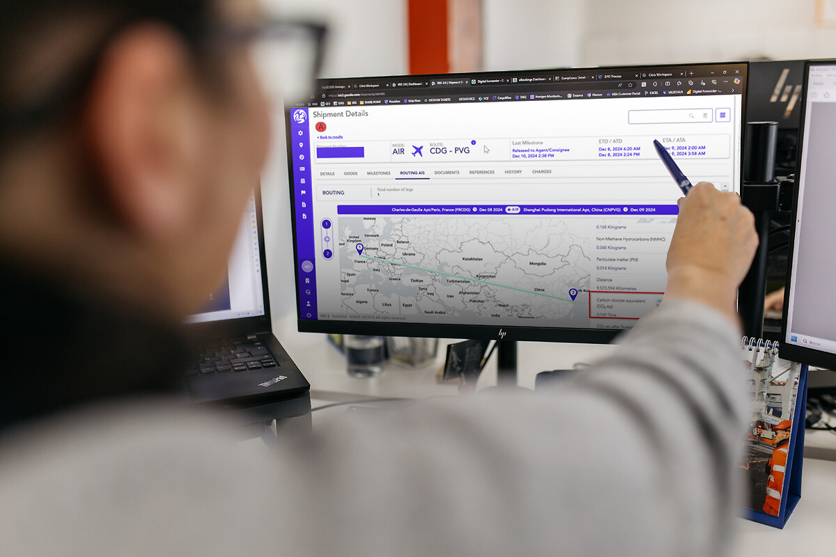
Track GHG emission savings
Track GHG emission savings and gain insight into your environmental impact:
- Monitor GHG emission savings for each shipment
- Access emission reports through GEODIS’ IRIS freight management platform
- Benchmark performance against trade lane averages and previous periods to support your sustainability targets
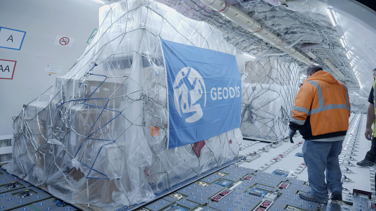
Stay Effective While Cutting Emissions
Balance climate goals with operational and cost efficiency using GEODIS AirSmart:
- Implement cost-effective GHG emission reduction strategies for long-term savings
- Maintain reliable performance while achieving your sustainability targets
- Combine optimized routing with Sustainable Aviation Fuel (SAF) to further reduce emissions


Frequently asked questions
GEODIS uses flight data to map available Air Freight services, including aircraft types and potential road feeder legs. This enables careful selection of services that support the emissions and performance goals of GEODIS AirSmart.
GEODIS estimates emissions using the EcoTransIT World methodology.
Yes. GEODIS provides outcome reporting that allows customers to benchmark GEODIS AirSmart-related emissions against trade lane averages and their own historical data to track performance over time.
GEODIS evaluates emissions performance, operational requirements, and service availability to select the most suitable aircraft and routing options. These decisions form the foundation of the GEODIS AirSmart offering.